Start with your mission.
Connect the aircraft, sensor and processing workflow around the result you need.
 01
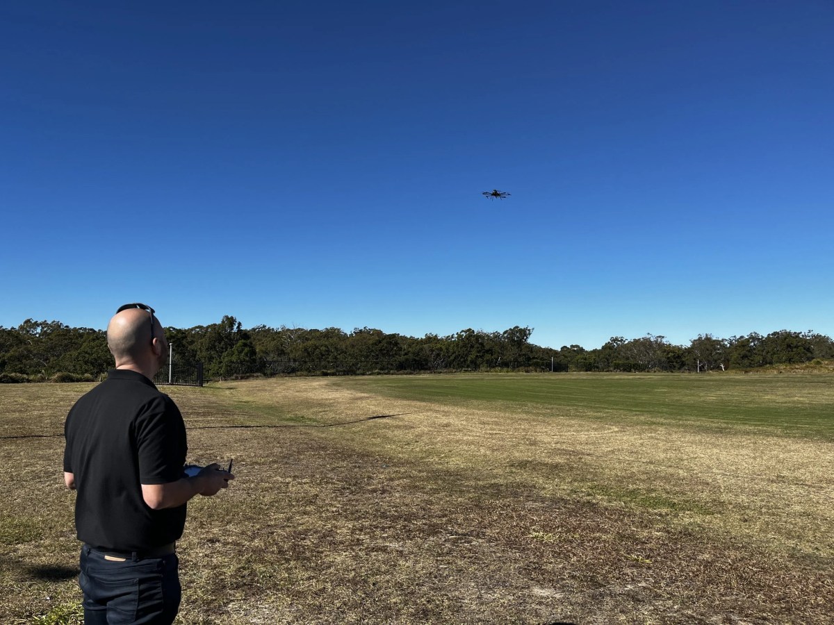
01Surveying & mapping
Connect an aircraft, camera, GNSS positioning and photogrammetry software around the data your project needs.
Explore the workflow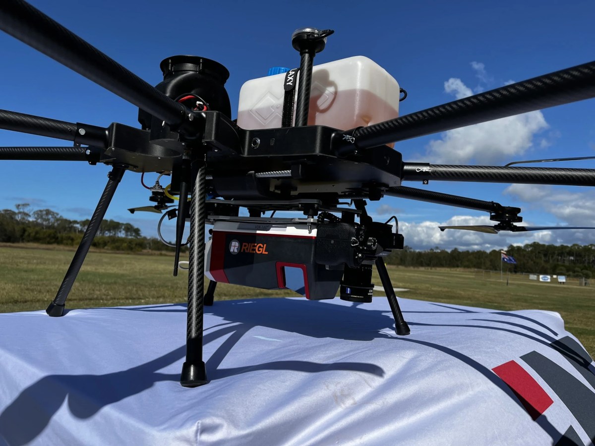 02
02LiDAR data collection
Explore LiDAR systems, payload integration and point-cloud processing for aerial and ground-based collection.
Explore the workflow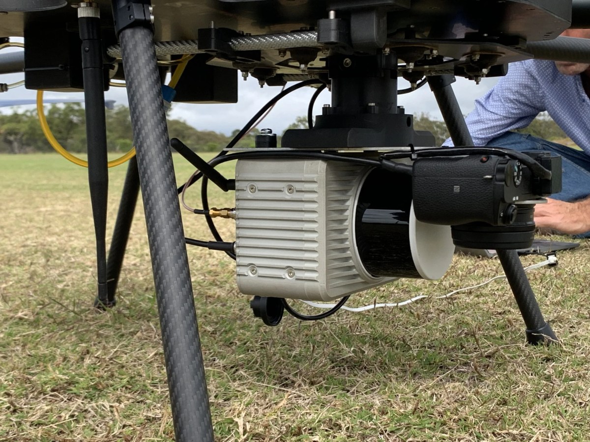 03
03Custom payload integration
Discuss mounting, power, data connections and airframe configuration with the team behind your aircraft.
Explore the workflowFrom aircraft to actionable data.
Every component should serve the same mission.
- 01
Aircraft
Start with the lift and airframe your operation needs.
- 02
Payload
Match your sensor, mounting and power requirements.
- 03
Positioning
Define the GNSS, RTK and ground-control approach.
- 04
Processing
Turn imagery and point clouds into useful data.
- 05
Deliverable
Plan the maps, models or data your project requires.
Build the complete workflow.
Explore sensors, positioning, processing software and manufacturing services.
LiDAR sensors
Survey-grade sensors for UAV, vehicle and backpack applications.
Explore solution ↗02GNSS & RTK
Flexible positioning with North SmaRTK and RTKITE systems.
Explore solution ↗03Photogrammetry
Turn aerial imagery into useful geospatial data with Correlator3D.
Explore solution ↗04LiDAR processing
Filter, adjust and export your point clouds with ScanLook PC.
Explore solution ↗05Carbon 3D printing
Custom ONYX parts manufactured from your CAD files.
Explore solution ↗06Additive manufacturing
Engineering and fabrication for custom applications.
Explore solution ↗Your payload.
Our expertise.
Tell us what you need to carry, where you operate, and what success looks like.
Find your solution