When you're looking for someone to handle your project's aerial survey, you need to look past general drone operators. The real pros are specialist UAV surveying companies. These teams bring together licensed pilots and certified surveyors, which means you get survey-grade data accuracy. This is the kind of precision that stops expensive rework in its tracks and makes hazardous sites much, much safer.
Why a Specialist UAV Surveying Company Matters
Hiring a standard drone pilot might get you some nice-looking aerial photos, but it won't deliver the hard data you need for serious projects.
Think about a big infrastructure project out in regional Queensland. A specialist will give you exact digital elevation models and precise volumetric calculations. A generalist? They often don't have the certified gear or the know-how to process the data into anything more than a pretty picture.
This difference is absolutely critical, especially when you're dealing with Australia's diverse and often challenging landscapes.
The true value isn’t found in the drone itself, but in the verified, centimetre-accurate data it collects. This is the information that drives key decisions in construction, mining, and land management, potentially saving projects thousands in avoidable errors.
Precision and Professionalism You Can Trust
A professional UAV surveying company gets the whole process, from the initial flight plan and risk assessment right through to processing the data and getting it to you. They make sure the final deliverables—like 3D point clouds or orthomosaic maps—are spot-on accurate and slot right into your existing software. This end-to-end expertise is what defines professional aerial surveying with UAVs.
Australia's drone industry has grown massively, and that tells a story. A 2023 survey from the Australian Association for Uncrewed Systems (AAUS) showed that surveying is one of the top uses for drones across the country, particularly in construction and land management. It’s clear that when the stakes are high, choosing a specialist isn’t just a good idea—it’s the only strategic move.
Getting a Handle on Their Tech and Equipment
The drone and its sensors are the core of any survey, and let's be clear: not all technology is created equal. You need to get under the bonnet and understand a company's technical toolkit to make sure they can actually deliver on your project's specific needs.
For instance, if you're doing a detailed inspection of a bridge or a mobile phone tower, a nimble multi-rotor drone is probably the right tool for the job. But if you need to map a massive farm or a long stretch of pipeline, a fixed-wing model built for endurance is what's required.
The drone itself is only half the story, though. The real magic—and the biggest point of difference between providers—is the sensor it’s carrying. The payload is what determines the kind and quality of data you get back, making it the most important thing to talk about.
What Are They Flying With? The Main Sensor Tech
You'll mainly come across three types of sensor technology: LiDAR, photogrammetry, and multispectral imaging. Each one is a specialist tool for a different kind of job.
Here’s a quick breakdown to help you compare what companies are offering and ask the right questions.
Comparing Key UAV Surveying Technologies
| Technology Type | Primary Use Case | Key Advantage | Question to Ask |
|---|---|---|---|
| LiDAR | Forestry, dense vegetation surveys, complex terrain modelling | Penetrates tree canopies for true ground-level data | "What is the point density and accuracy of your LiDAR sensor?" |
| Photogrammetry | Construction monitoring, orthomosaic mapping, stockpile volumes | Cost-effective for creating detailed 2D maps and 3D models | "What ground control do you use to ensure the photogrammetry is survey-grade?" |
| Multispectral | Precision agriculture, environmental monitoring | Reveals data invisible to the naked eye, like crop stress | "How many spectral bands does your sensor capture and how is it calibrated?" |
Ultimately, choosing the right sensor technology comes down to what you need the data for. A good provider will be able to justify their choice of equipment based on your project goals, not just what they happen to own.
This decision tree gives you a good sense of whether you need a generalist pilot or a true specialist surveyor.
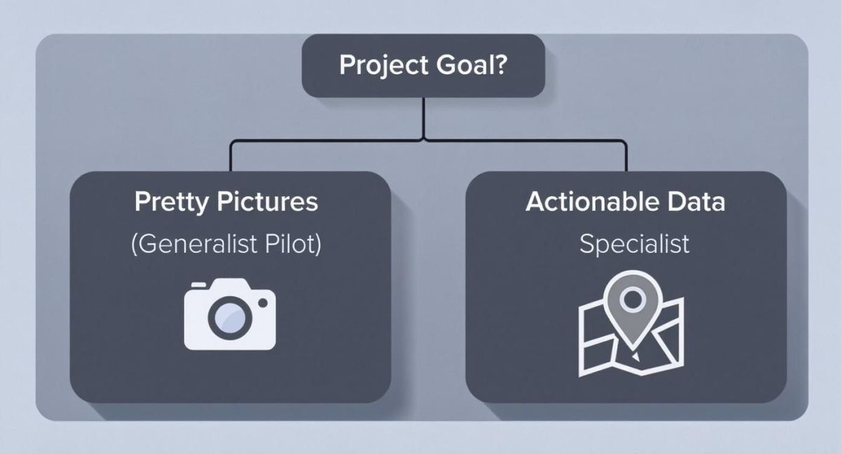
If your goal is to get actionable, survey-grade data that you can base major decisions on, you absolutely need a specialist with the right gear.
When you're talking to potential companies, ask them straight up what technology they’d recommend for your project and why. A professional outfit will walk you through their reasoning, connecting the dots between their equipment and your desired outcome. This conversation is often the quickest way to tell if you’re dealing with an expert or just a drone operator. Remember, it's the right mix of hardware and the best software for UAV data processing that gets you reliable results.
Don’t get dazzled by a company that just rattles off a list of the latest drone models. The only thing that matters is whether their technology is fit-for-purpose. The wrong gear means useless data and, even worse, having to pay someone else to do the whole thing again.
Confirming Safety Protocols and Certifications
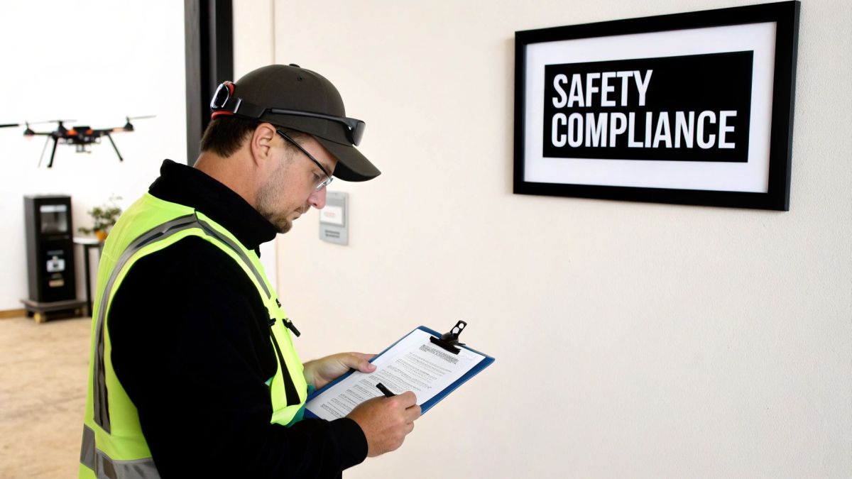
Let’s be honest. Beyond all the fancy tech and promises of incredible data, safety is the one thing you absolutely cannot compromise on. In Australia, commercial drone operations are tightly regulated by the Civil Aviation Safety Authority (CASA), and for very good reason. We’re talking about flying complex, multi-kilogram equipment over active work sites, which carries real risk if not managed properly.
The absolute bare minimum for any company you consider is a CASA Operator's Certificate (ReOC). This is your first and most crucial checkpoint. On top of that, every single pilot who flies for them must hold a Remote Pilot Licence (RePL). Don't just take their word for it—ask to see copies. A professional outfit will have these ready to go without any hesitation.
Digging Deeper Than the Licence
Here’s where you separate the pros from the cowboys. Holding the right licences is just the ticket to the game; it doesn't mean they know how to play. A truly professional drone company lives and breathes safety, and this is always documented in their Safety Management System (SMS).
An SMS is their operational playbook. It should cover everything from routine pre-flight checklists and emergency plans to staff training and how they report incidents. This is what shows they’ve thought through the "what-ifs."
You should feel comfortable asking some tough questions about their process. For instance:
- How do you manage flights near controlled airspace or airports?
- What’s your standard procedure for securing local council or landholder permits?
- Can you walk me through a Job Safety Analysis (JSA) you've done for a similar project?
Their answers will tell you a lot about their experience and how seriously they take their responsibilities. A provider’s commitment to safety should also extend to understanding the bigger picture of on-site work, including a firm grasp of the Australian Workplace Safety Standards.
A quick reminder: If something goes wrong, the liability often doesn't stop with the drone operator. Choosing a non-compliant company to cut costs can backfire spectacularly, exposing your project to huge legal risks, financial penalties, and crippling delays.
At the end of the day, a company that puts safety first is a company that values professionalism. They're the ones you can rely on. To get a better handle on this, you can learn more about how we approach compliance with government regulations and ensure every project is not just successful, but safe from takeoff to landing.
Gauging Real-World Experience and Specialisation
Look, anyone can learn to fly a drone. But turning that flight into survey-grade data that you can actually rely on? That’s a completely different ball game. When you're vetting UAV surveying companies, you need to get past the slick marketing and dig into their real, on-the-ground track record.
The proof is always in the portfolio. Don't be shy about asking for case studies that mirror your own project. If you're in the mining sector, a portfolio packed with residential real estate jobs just isn’t going to cut it. You need a partner who gets the unique challenges and specific deliverables your industry demands.
Asking the Right Questions
Generic questions will only get you generic, rehearsed answers. To really understand what a company is made of, you have to get specific and ask about their actual experiences. This is how you separate the generalists from the true specialists.
Try asking questions that force them to tell a story based on real work:
- "Tell me about a tough survey you handled in a remote area. What went wrong, and how did you fix it?"
- "What specific data formats can you provide for a large-scale infrastructure project like this one?"
- "Can you walk me through how you ensured data accuracy on a site with massive elevation changes?"
Their answers will tell you everything you need to know about their problem-solving skills and depth of knowledge. Think about Western Australia, which makes up about 56% of Australia’s $415 billion in mineral and petroleum exports. Surveying those remote sites the old way was painfully slow. Drones can now capture that data in hours, not weeks, but only if the operator has tackled those kinds of demanding environments before. You can read more about how drones are changing surveying in WA's unique conditions.
A company’s specialisation is its most valuable asset. A provider with deep experience in your industry—whether that's urban development in Victoria or resource extraction in the Pilbara—will anticipate problems, speak your language, and deliver data you can use straight away.
At the end of the day, this isn't about trying to catch them out. It’s about building confidence. You’re simply looking for a team that has already solved the kinds of problems you’re facing and has the evidence to prove it.
What to Expect in Data and Project Deliverables
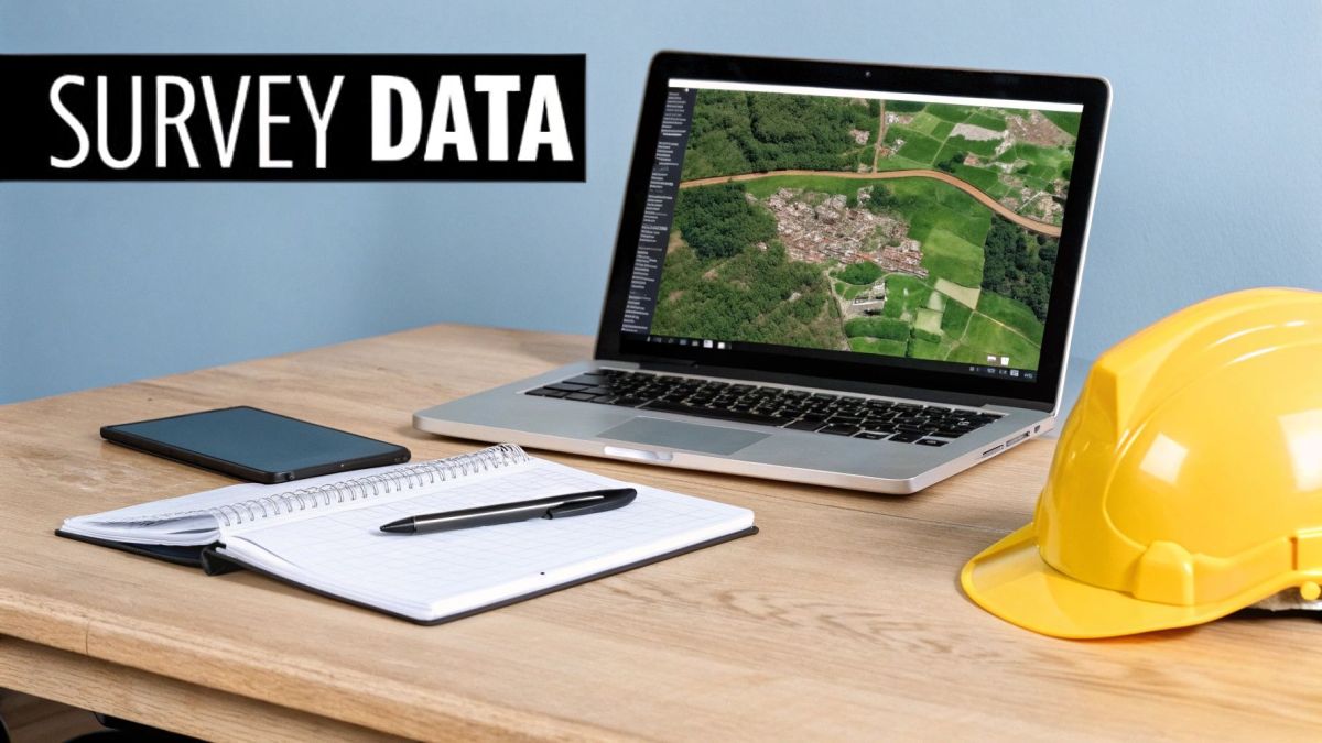
The real value of a drone survey isn't in the flight—it's in the data that comes after. Once the UAV lands, all that raw information gets processed into practical insights. You need to be crystal clear on what you’re getting at the end of the day.
A professional report is much more than just a folder of raw files; it should be a complete data package built around your project's needs.
Before any work begins, make sure you clarify the exact deliverables you'll receive. This conversation is critical because it ensures the data will slot right into your existing software and workflows, saving you major compatibility headaches down the track.
Understanding Your Data Package
The final output from most professional UAV surveying companies will usually be a mix of specialised file types. Don’t be shy about asking for a simple explanation, but here’s what you can generally expect to see:
- 3D Point Clouds: These are massive collections of data points floating in 3D space, creating an incredibly precise digital twin of your site. They're the foundation for taking detailed measurements and building models in software like AutoCAD.
- Orthomosaic Maps: Think of these as super high-resolution aerial photos that are geographically accurate. They're made by stitching together hundreds, sometimes thousands, of individual images into one big, seamless map you can measure directly from.
- Digital Elevation Models (DEMs): These models show the bare-earth surface, essentially stripping away all the buildings and vegetation. They are absolutely vital for understanding the site's terrain, planning any earthworks, or analysing things like water drainage.
I can't stress this enough: the most important conversation to have upfront is about accuracy. Always discuss the level of precision your project requires and ask how the company uses Ground Control Points (GCPs) to guarantee survey-grade results. This is what separates a pretty picture from a legally defensible survey.
Before you sign on the dotted line, make one final request: ask to see a sample data set from a past project similar to yours. This is your ultimate quality check. It allows you to see the file formats, the clarity of the data, and the overall quality with your own eyes, making sure you get exactly what you’re paying for.
Common Questions About UAV Surveying Companies
Even with the best plan, you'll likely have a few nagging questions before you commit. It’s completely normal. Here are some of the most common queries we hear from clients when they’re looking to hire a UAV surveying company.
How Much Should I Expect to Pay for a UAV Survey in Australia?
This is the big one, and the honest answer is: it depends. Costs can swing wildly based on what you need. A straightforward aerial map of a small construction site might only set you back a few thousand dollars. But if you're talking about a large-scale mining operation requiring high-density LiDAR data, you could be looking at tens of thousands.
The final price tag is a mix of a few key factors:
- The size and complexity of your site
- The level of data accuracy required
- The site’s location (remote sites mean higher mobilisation costs)
Always insist on a detailed quote that clearly separates the costs for mobilisation, the actual on-site data capture, and the back-end data processing. A word of caution: if a quote seems too good to be true, it probably is. Extremely low bids can be a red flag for corner-cutting on crucial things like insurance, certification, or data quality.
What’s the Difference Between a Drone Pilot and a Surveyor?
This is a critical point that’s often misunderstood. A drone pilot is certified to fly the aircraft safely and legally, which is essential. But a qualified surveyor is a registered professional who has the training, legal authority, and expertise to interpret spatial data, certify its accuracy, and define legal boundaries. They’re the ones who turn pretty pictures into legally defensible, survey-grade data.
For your results to hold up under scrutiny and meet professional engineering or legal standards, you absolutely need to work with a company that has qualified surveyors on its team or directly supervising the entire process. Without that oversight, you're just getting high-resolution photos, not a survey.
The Australian UAV market was valued at AUD 962.07 million in 2024 and is tipped to hit nearly AUD 2.99 billion by 2034. This explosion in growth shows just how much major industries now rely on professional, high-accuracy drone surveying. You can find more insights about this expanding market.
How Long Will I Be Waiting for the Final Data?
One of the best things about UAV surveying is the speed of data capture on-site—we can often cover a huge area in just a day. But that’s only half the story. The real magic, and the bulk of the work, happens back in the office.
Processing involves stitching thousands of images together, generating precise 3D models, cleaning up the data, and running rigorous quality assurance checks. For a typical project, you should expect to see the final deliverables within one to two weeks. It’s always a good idea to confirm this timeline with the company from the outset to make sure it aligns with your project deadlines.
At Innoflight International, we bring together state-of-the-art drone technology and certified surveying expertise to deliver data you can build on with confidence. If you need reliable, survey-grade results for your next project, see what we can do for you at https://evolutionflight.com.